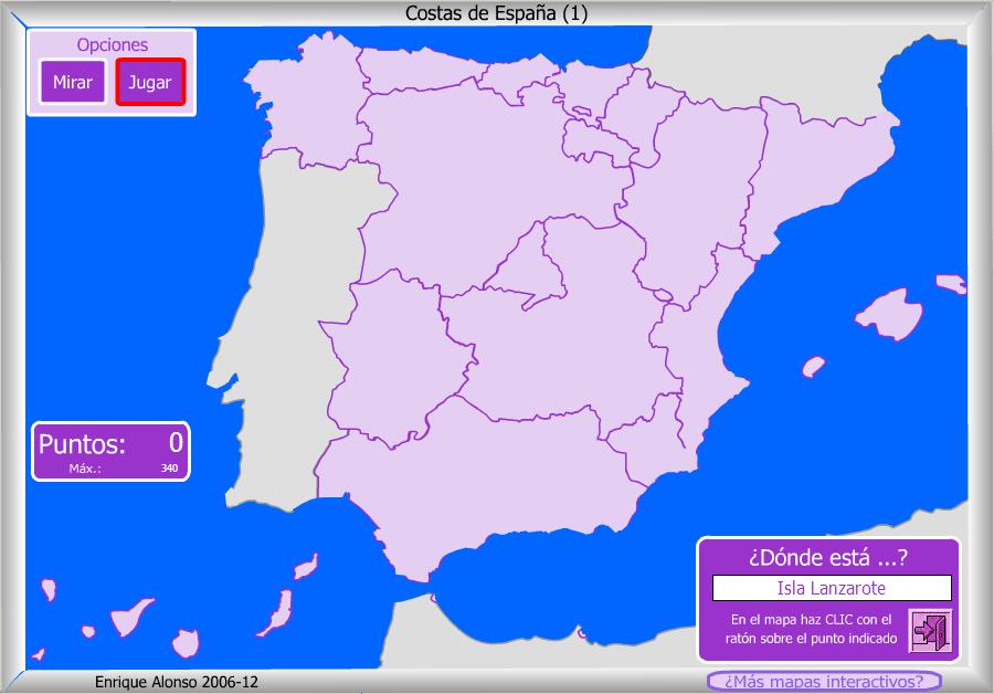
Spain is the biggest part of a peninsula, so we are surrounded by water almost all around us. Of course, the Canary Islands and the Balearic Islands are completely surrounded by water.
Let´s check the features we have to study:
COASTS
|
Cantabrian
Coast
(purple)
|
1
|
Cape
Matxitxako
|
2
|
Cape
Ajo
|
||
3
|
Cape
Peñas
|
||
4
|
Estaca
de Bares Point
|
||
Atlantic
Coast
(red)
|
5
|
Cape
Fisterra
|
|
6
|
Gulf
of Cádiz
|
||
7
|
Tarifa
Point
|
||
8
|
Archipielago
of Canary Island
|
||
Mediterranean
Coast
(green)
|
9
|
Cape
Gata
|
|
10
|
Cape
Palos
|
||
11
|
Cape
La Nao
|
||
12
|
Gulf
of Valencia
|
||
13
|
Gulf
of Roses
|
||
14
|
Cape
Creus
|
||
15
|
Archipielago
of Balearic Islands
|
Use this map to help you, and don´t forget the islands!:
And now, if you want to try with an interactive map, click on these pictures: one to know the name and the other to know where are they:


No hay comentarios:
Publicar un comentario